

16:30:27
The view of the bandstand.16:39:06
The barrow.16:41:22
The view from the barrow.17:20:46
A spot where we had once built a den - nice to see somebody else had built a more sophistcated version of it.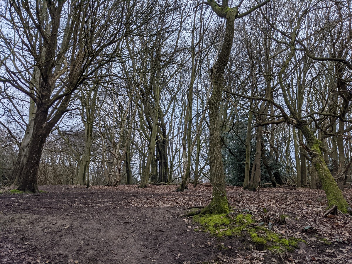
17:21:34
The trees.17:26:43
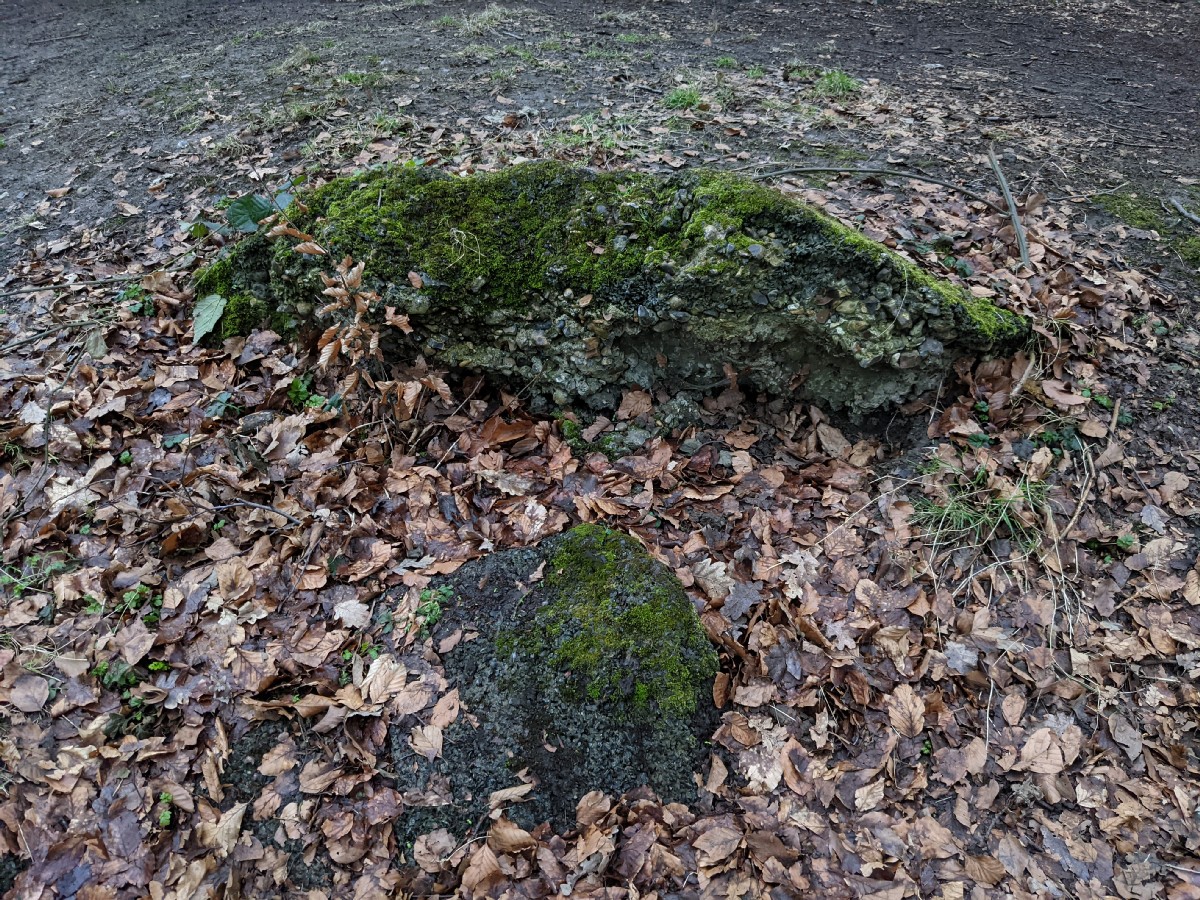
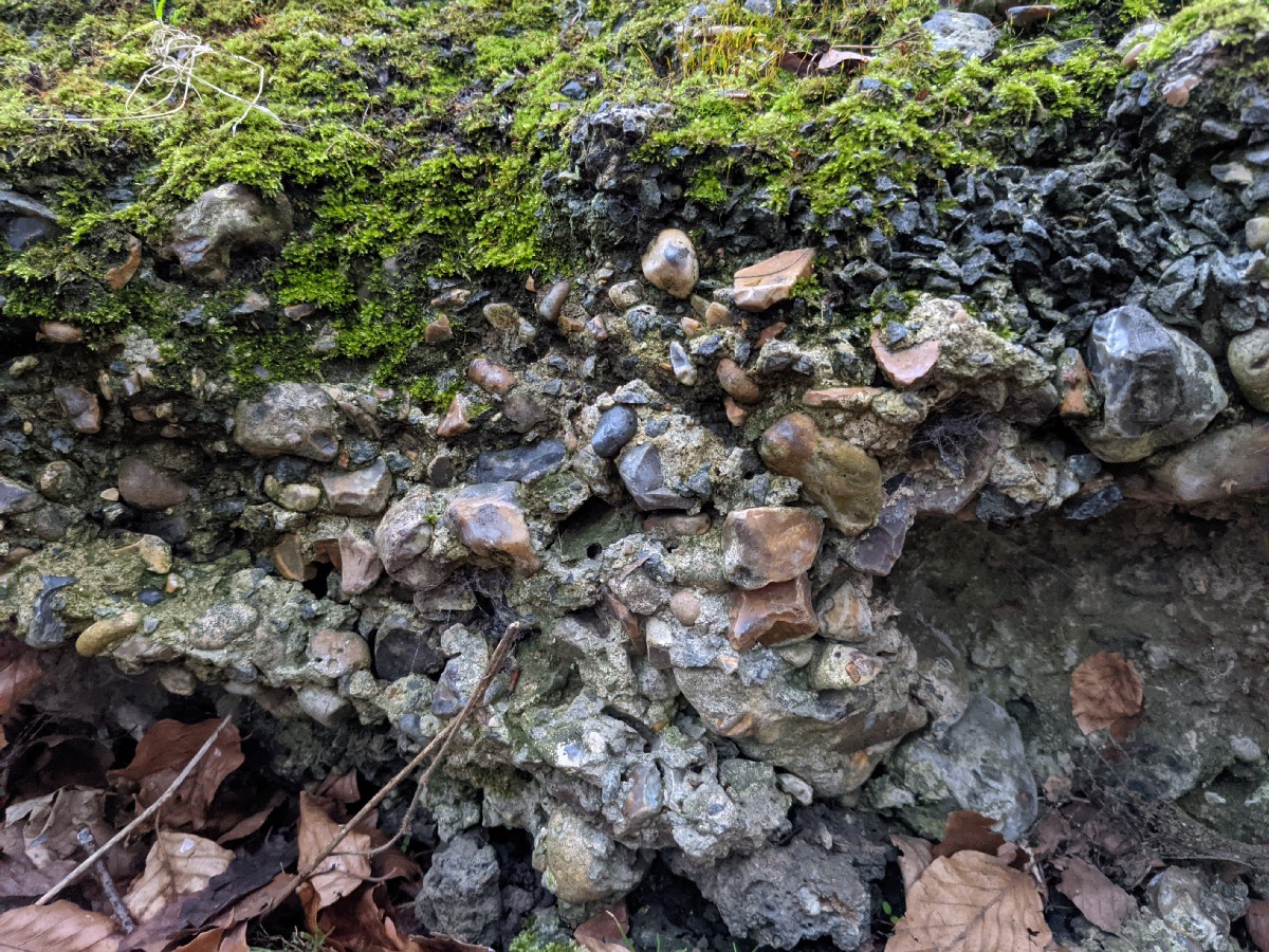
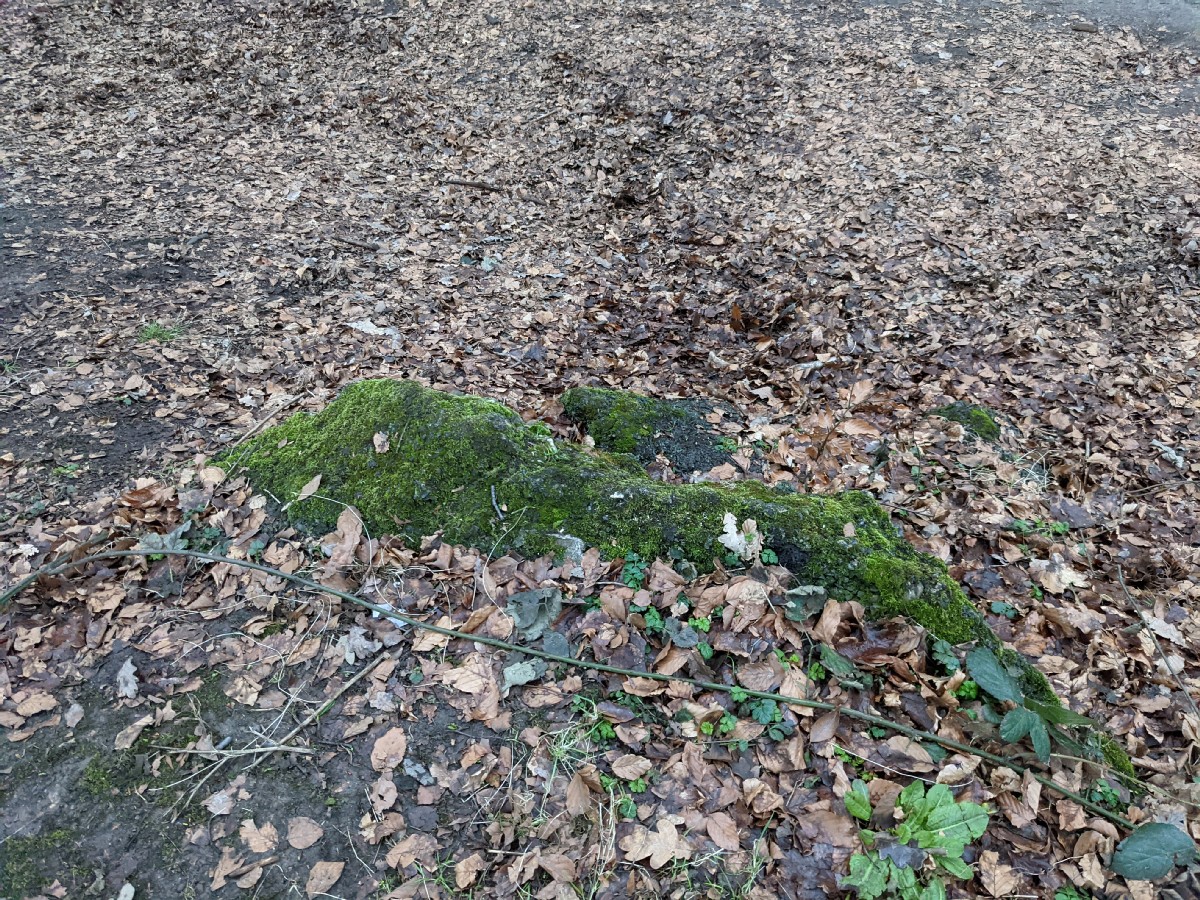
I initially wasn't sure what the boundary stones would look like, and thought this unassuming lump might be one.17:27:43
17:27:48
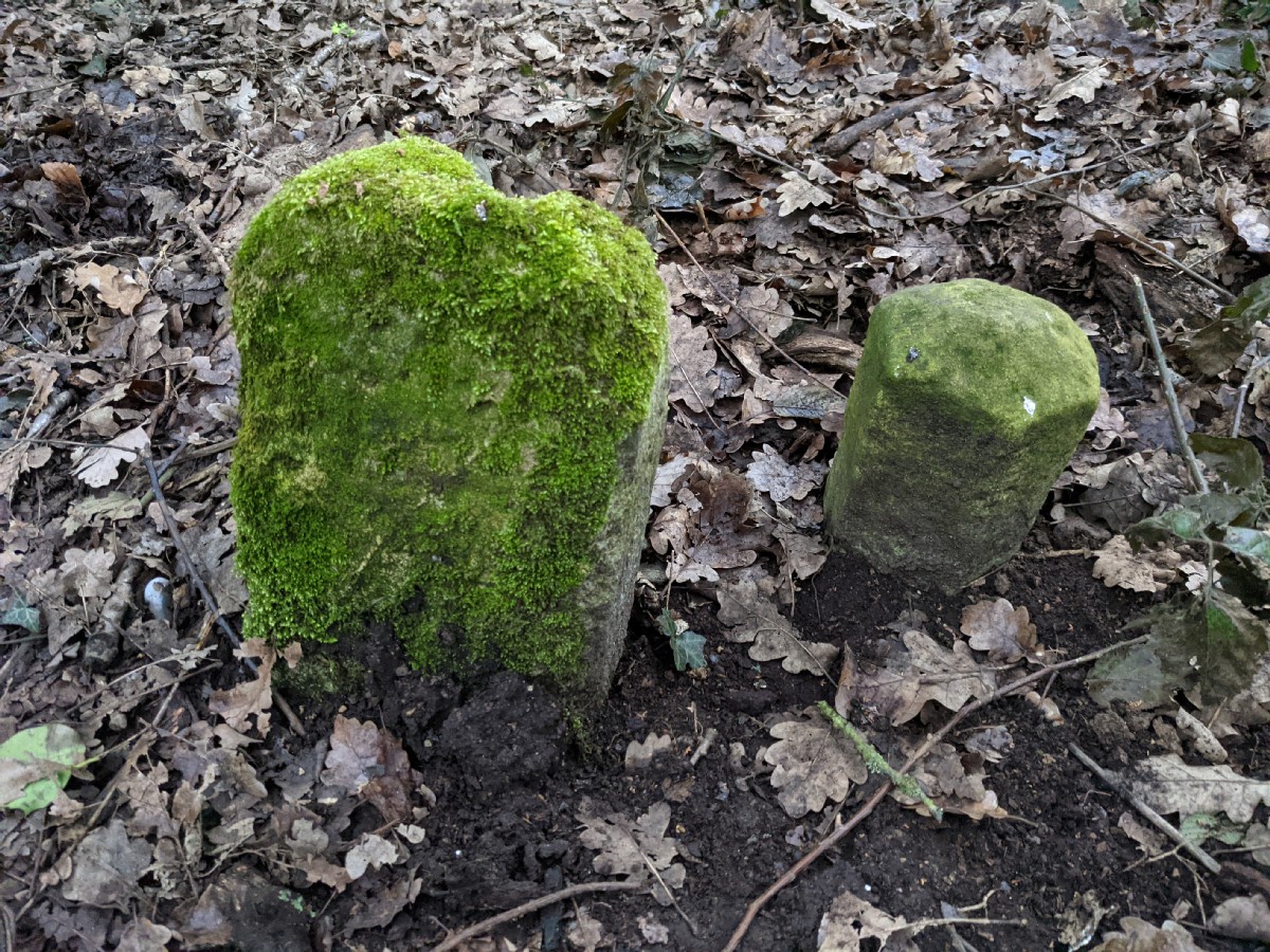
17:30:37
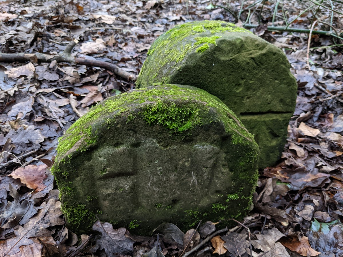
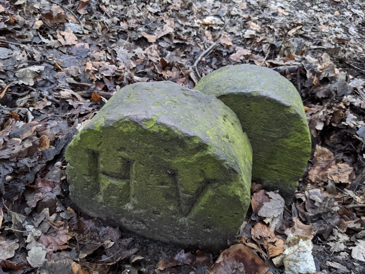
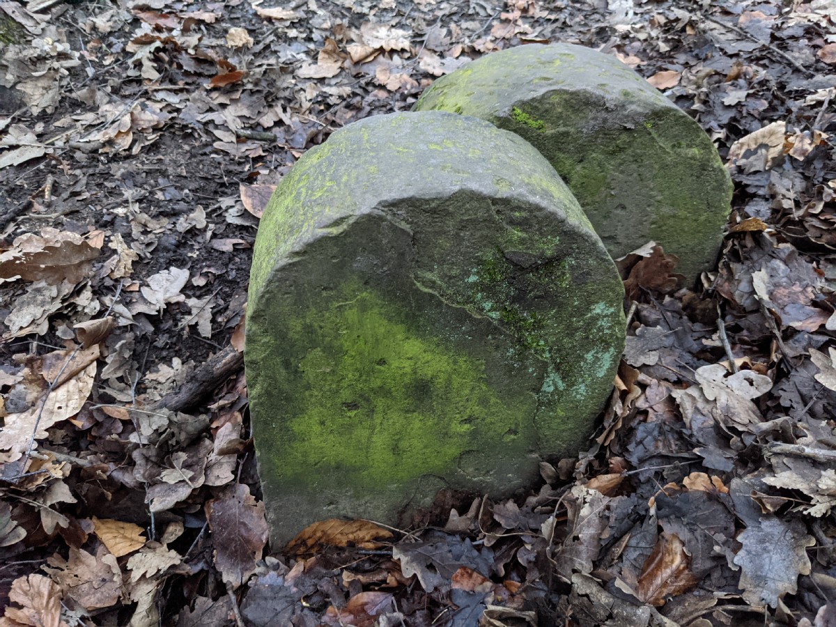
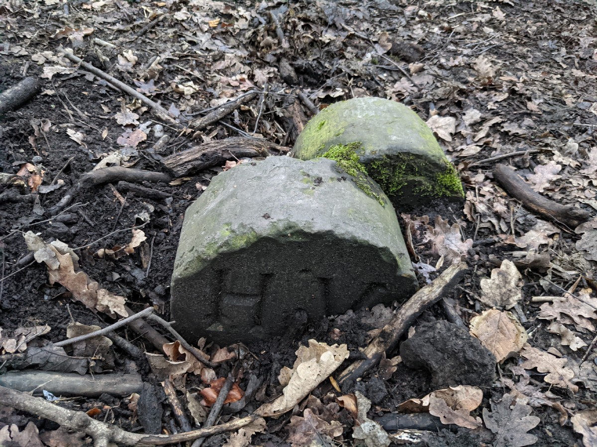
...but no, I think the marking on the map was referring to these. Possibly parish boundaries? Not sure what HV stands for though. Hampstead Village?17:30:55
17:32:15
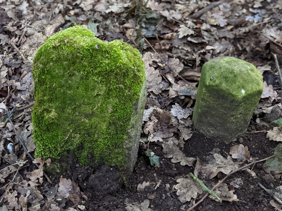
Another pair of boundary stones.17:32:19
17:35:23
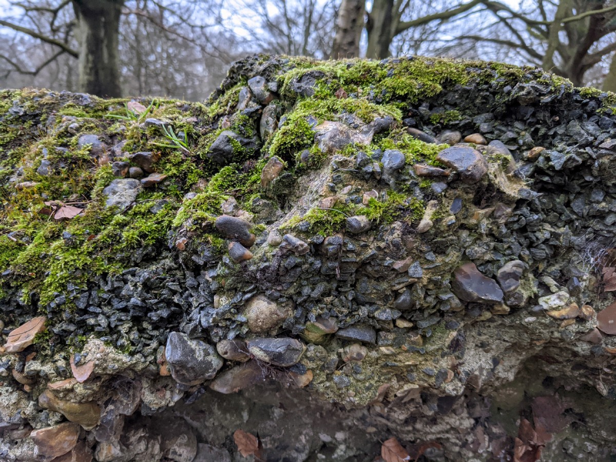
...that rock again which probably isn't a boundary stone.17:37:26
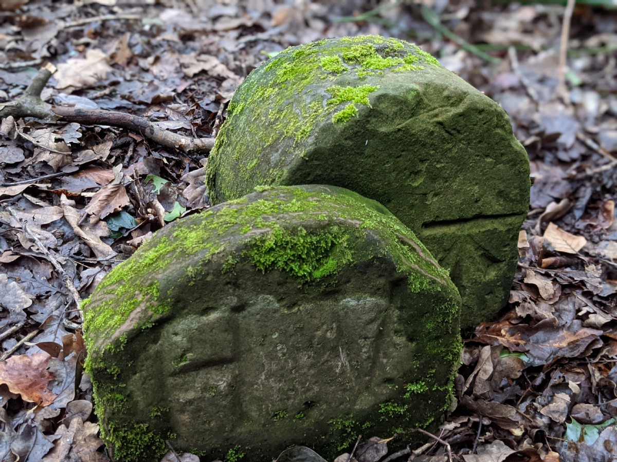
Another pair of boundary stones.17:37:39
17:38:57
One last one, partly buried.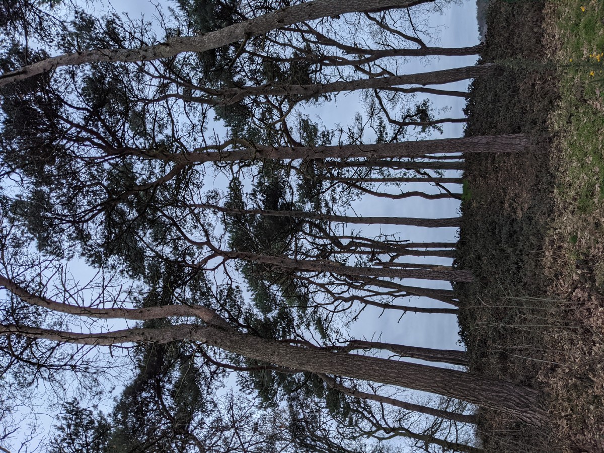


17:44:58
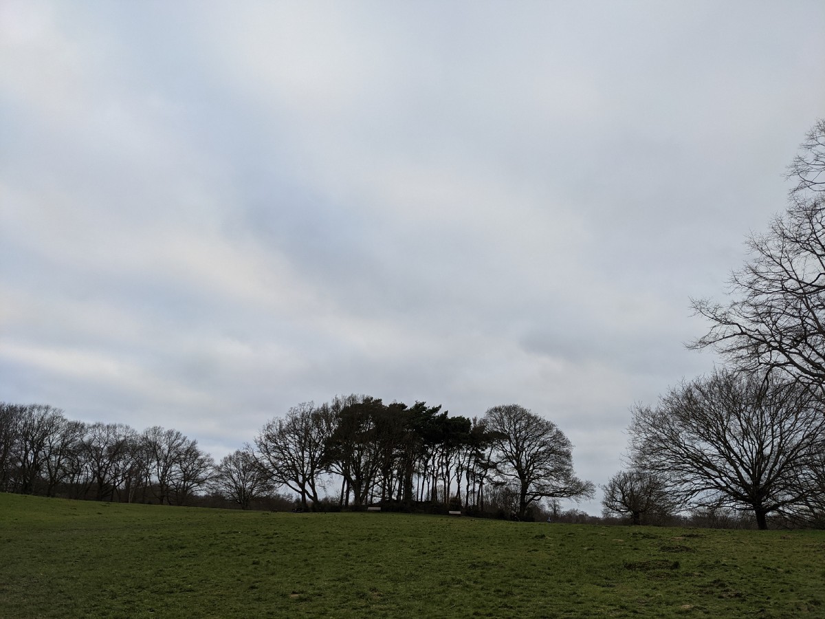
The Scots pines in the barrow. 17:54:01
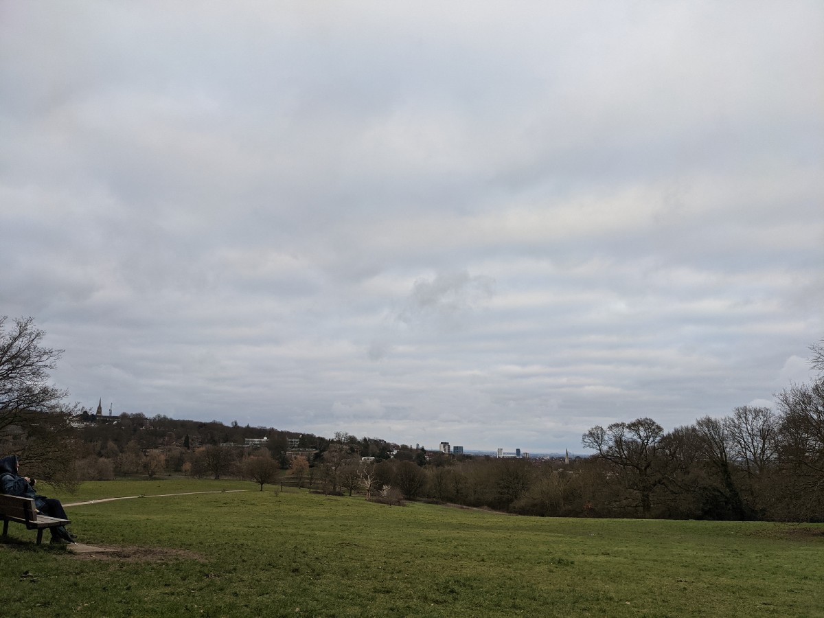
The top of Parliament Hill.17:54:09
17:55:31
The London skyline.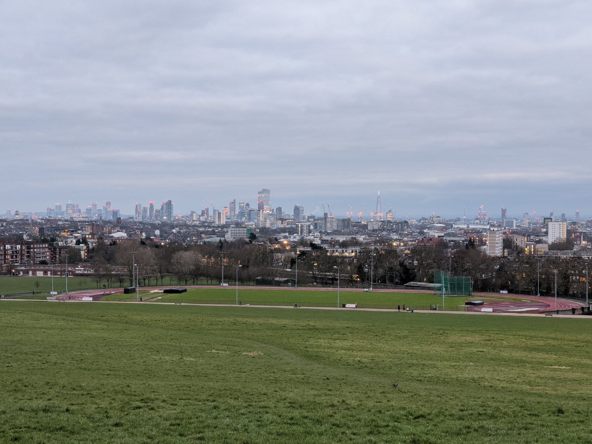

17:57:23
17:57:26